Blank Map of Wyoming
Free printable blank outline map of Wyoming (WY, FIPS 56), projected in Equal-Area Conic from U.S. Census Bureau TIGER/Line boundaries. Toggle between the clean state border and all 23 counties, print directly, or download as SVG or PNG.
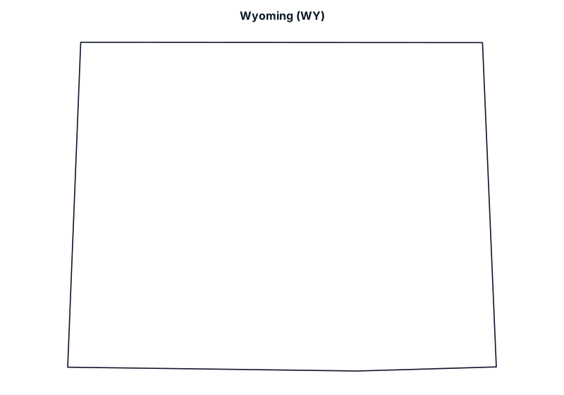
Showing blank state outline of Wyoming. Click With Counties (23) above to overlay county-level boundaries and labels.
Wyoming Geographic & Boundary Overview
- State / Postal Code / FIPS
- Wyoming · WY · State FIPS 56
- State Capital
- Cheyenne
- Time Zone Coverage
- Mountain Time (MT)
- Total Land Area
- 97,089 sq mi
- Number of Counties
- 23 (Albany County to Weston County)
- Largest by Land Area
- Sweetwater County (10,427 sq mi, FIPS 56037)
- Smallest by Land Area
- Hot Springs County (2,004.4 sq mi, FIPS 56017)
This printable Wyoming outline map covers 97,089 square miles of land area centered near 42.97° N, 107.53° W, with Cheyenne as its state capital and statutory clocks following Mountain Time (MT). Each vector map is generated from official U.S. Census Bureau TIGER/Line cartographic boundary files (cb_2023_us_state_20m and cb_2023_us_county_20m) using an Equal-Area Conic projection fitted specifically to Wyoming’s geographic bounding box so county and state proportions remain true to scale when printed on standard 8.5×11 inch letter paper or exported at 2400×1680 resolution.
How to Use and Print This Wyoming Worksheet Map
- Blank State Outline Mode (
wyoming-blank.svg): Shows the clean exterior border of Wyoming (WY) without internal labels—designed for classroom geography tests, capital and river labeling exercises, coloring sheets, and presentation graphics. - Counties Overlay Mode (
wyoming-counties.svg): Adds the interior borders for all 23 counties in Wyoming (alphabetically from Albany County to Weston County) so you can map regional territories or county-level data. - Vector SVG, High-Res PNG, or One-Click Print: Download the lossless SVG file, export a crisp 2400×1680 pixel PNG directly in your browser, or click Print Map for a printer-friendly page that hides menus and buttons automatically.
Looking for the full directory of all 23 counties in Wyoming with 5-digit FIPS codes, seats, and official government links? Open the Wyoming County Map and FIPS Directory, check your live location on What State Am I In? and What County Am I In?, or return to the Blank United States Map.
Bordering State Blank Maps
Wyoming shares land or water borders with 6 neighboring states: