Blank Map of Delaware
Free printable blank outline map of Delaware (DE, FIPS 10), projected in Equal-Area Conic from U.S. Census Bureau TIGER/Line boundaries. Toggle between the clean state border and all 3 counties, print directly, or download as SVG or PNG.
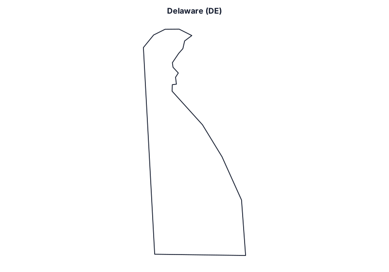
Showing blank state outline of Delaware. Click With Counties (3) above to overlay county-level boundaries and labels.
Delaware Geographic & Boundary Overview
- State / Postal Code / FIPS
- Delaware · DE · State FIPS 10
- State Capital
- Dover
- Time Zone Coverage
- Eastern Time (ET)
- Total Land Area
- 1,949 sq mi
- Number of Counties
- 3 (Kent County to Sussex County)
- Largest by Land Area
- Sussex County (936.2 sq mi, FIPS 10005)
- Smallest by Land Area
- New Castle County (426.3 sq mi, FIPS 10003)
This printable Delaware outline map covers 1,949 square miles of land area centered near 39.00° N, 75.44° W, with Dover as its state capital and statutory clocks following Eastern Time (ET). Each vector map is generated from official U.S. Census Bureau TIGER/Line cartographic boundary files (cb_2023_us_state_20m and cb_2023_us_county_20m) using an Equal-Area Conic projection fitted specifically to Delaware’s geographic bounding box so county and state proportions remain true to scale when printed on standard 8.5×11 inch letter paper or exported at 2400×1680 resolution.
How to Use and Print This Delaware Worksheet Map
- Blank State Outline Mode (
delaware-blank.svg): Shows the clean exterior border of Delaware (DE) without internal labels—designed for classroom geography tests, capital and river labeling exercises, coloring sheets, and presentation graphics. - Counties Overlay Mode (
delaware-counties.svg): Adds the interior borders for all 3 counties in Delaware (alphabetically from Kent County to Sussex County) so you can map regional territories or county-level data. - Vector SVG, High-Res PNG, or One-Click Print: Download the lossless SVG file, export a crisp 2400×1680 pixel PNG directly in your browser, or click Print Map for a printer-friendly page that hides menus and buttons automatically.
Looking for the full directory of all 3 counties in Delaware with 5-digit FIPS codes, seats, and official government links? Open the Delaware County Map and FIPS Directory, check your live location on What State Am I In? and What County Am I In?, or return to the Blank United States Map.
Bordering State Blank Maps
Delaware shares land or water borders with 3 neighboring states: